Services
Our Services

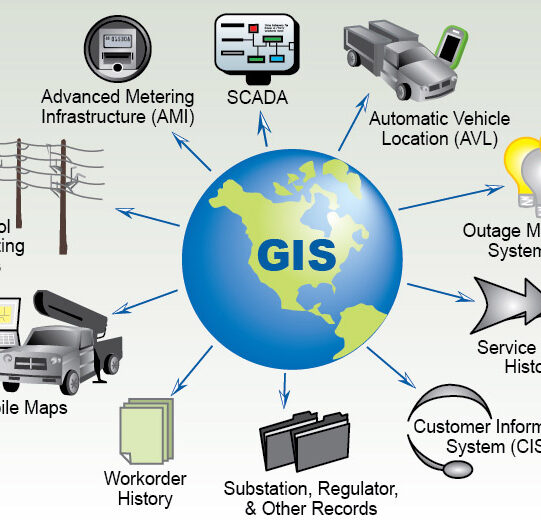
Remote Sensing & GIS
A GIS system is designed to collect, visualize, interpret, process, store, and analyse spatial or geographic data. A geographic information system can be a very…

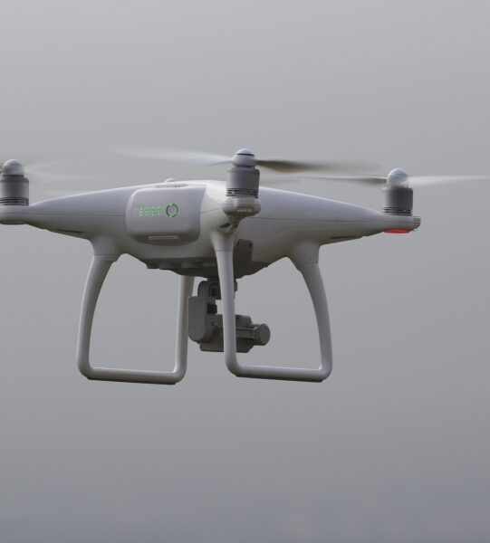
Drone Surveying And Data Analysis
SHAAONEE Technologies are skilled in Drone sector with high accuracy deliverables, SHAAONEE have licenced pilots and data analysis team to execute any kind of Drone…

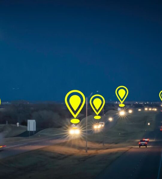
Location Intelligence
Location Intelligence is a technology to analyze the large amount of data linked to location. SHAAONEE have build own product to serve the Location Intelligence…

