SHAAONEE Technologies are skilled in Drone sector with high accuracy deliverables, SHAAONEE have licensed pilots and data analysis team to execute any kind of Drone Survey and Data Analysis work which is time and coast efficient.
Our Deliverables Are __
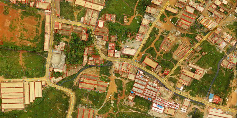
Orthomosaic
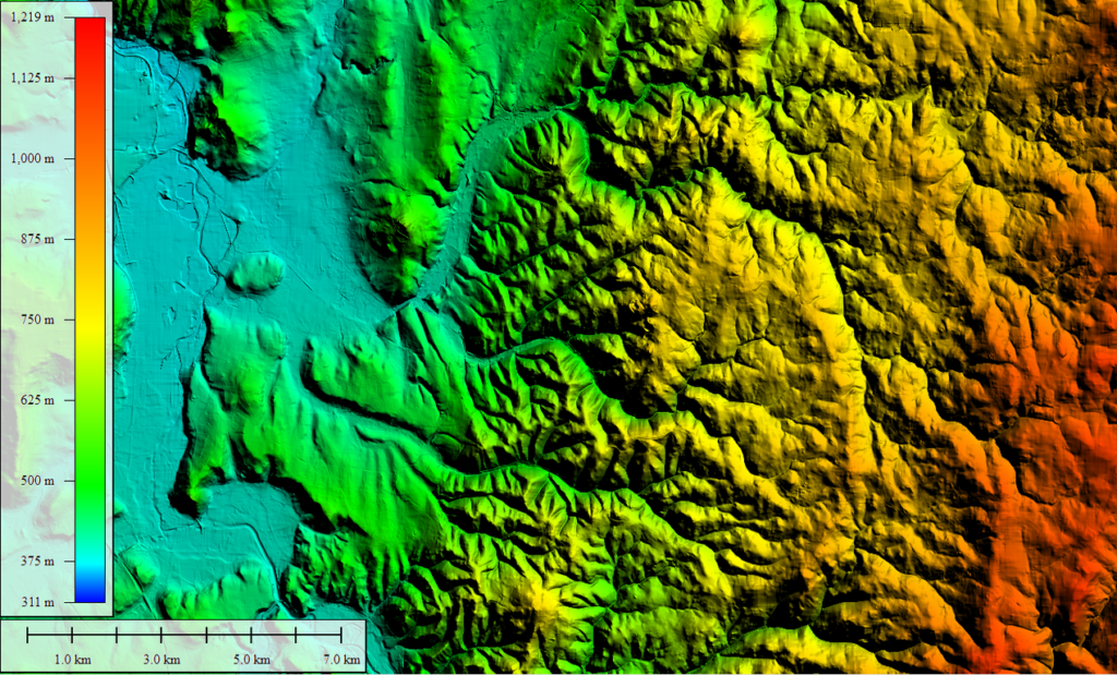
DTM
DSM
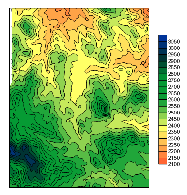
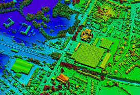
Contours
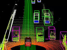
3D Point Cloud
Thermal Imagery
Aerial Photography
Aerial Videography
Orthomosaic
Contours
Aerial Photography
DTM
3D Point Cloud
Aerial Videography
DSM
Thermal Imagery
➢ Our Expertise in Drone Sectors Are
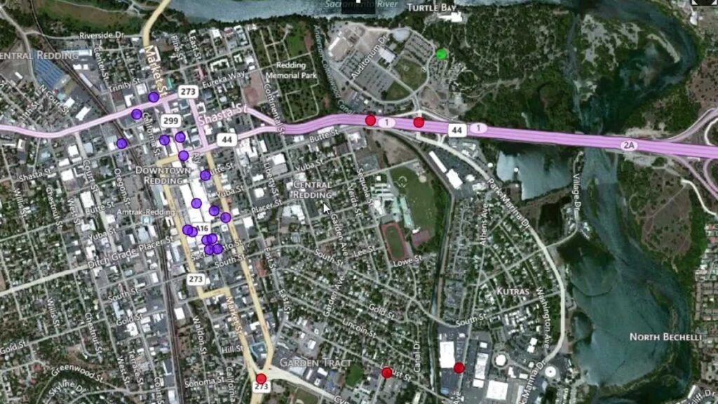
1.Aerial Surveying And Mapping-
Topographical Survey
Urban Planning
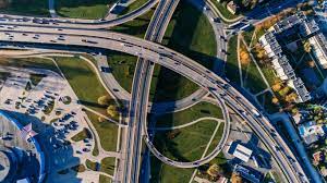
Road Corridor Mapping
River Mapping
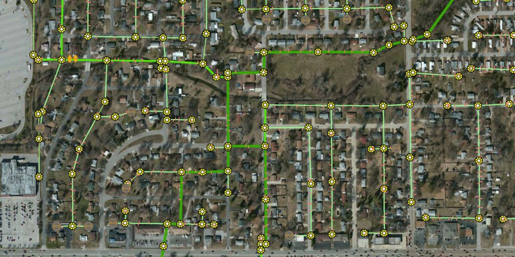
2. Aerial Inspection-
Road Inspection
Power line Inspection
Railway Corridor Inspection
Pipeline Inspection
Solar Plant Inspection
Power Plant Inspection
3. Project Monitoring-
Road Construction Monitoring
Real Estate Construction Monitoring
4. Volumetric Analysis-
Stockpile Calculation
➢ Drone Data Mapping And Feature Extraction-
We understand the importance of approaching each work integrally and believe in the power of simple.