A GIS system is designed to collect, visualize, interpret, process, store, and analyse spatial or geographic data. A geographic information system can be a very effective tool for many purposes. We have worked with a broad variety of customers in helping them transition from using hand-drawn maps and staking sheets to a state-of-the-art GIS system
➢ Our Expertise in GIS Are ___
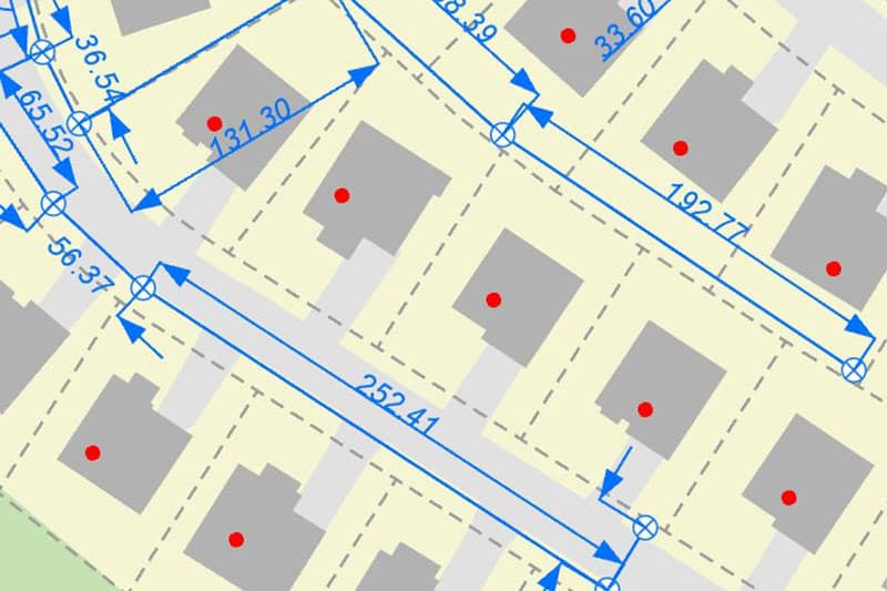
2D Building Digitization
Road Centreline
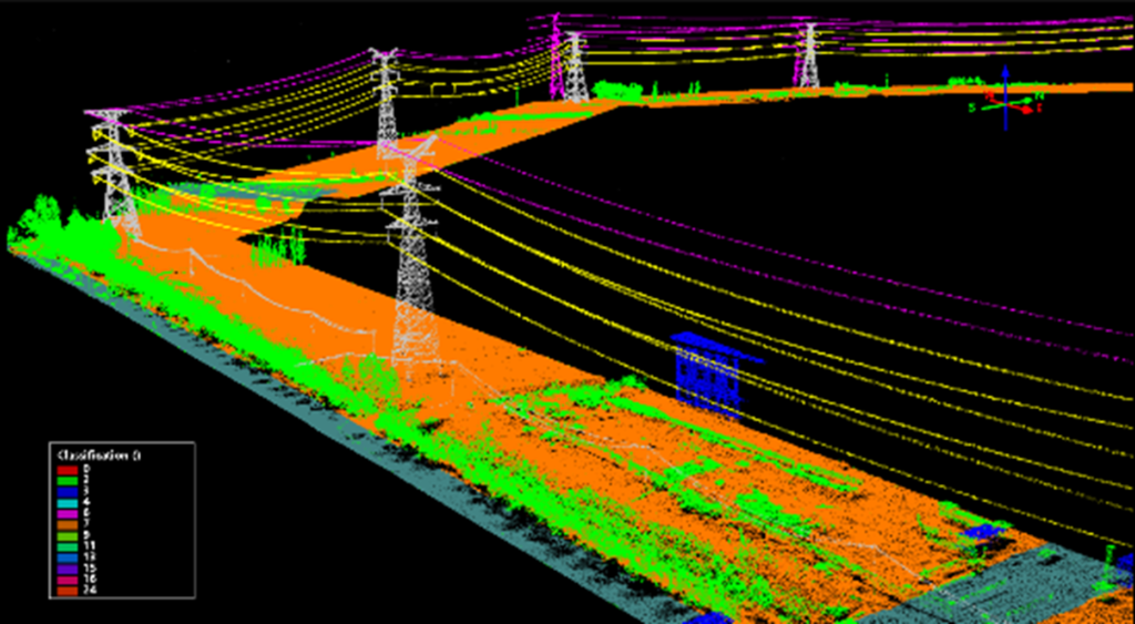
Vegetation Maintenance of Power Line
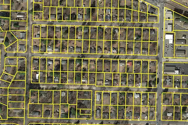
Parcel Mapping
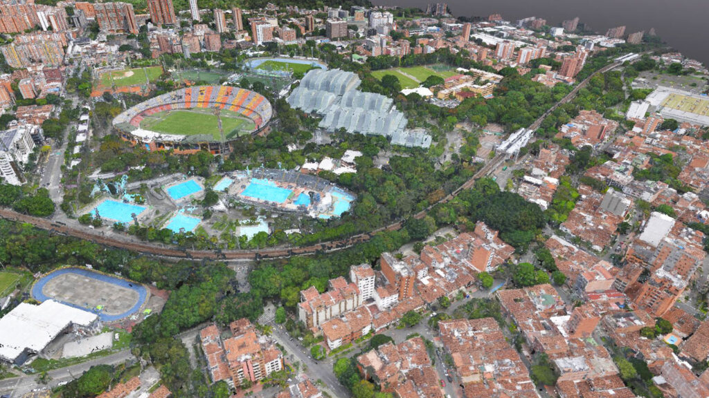
2D Building Digitization
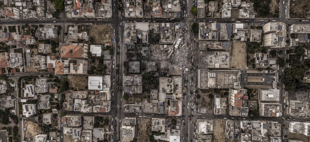
Road Centreline
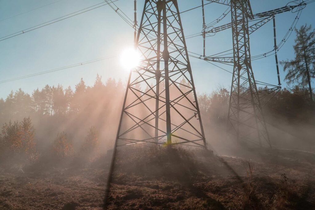
Vegetation Maintenance of Power Line
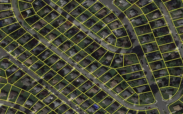
Parcel Mapping
Successfully Delivered Project-
We have completed lots of projects in very short span of time and our some of the successfully delivered projects are.
➢ Digitization & Measurement of Building Area by Integrating GIS Tools For Property
Taxation-
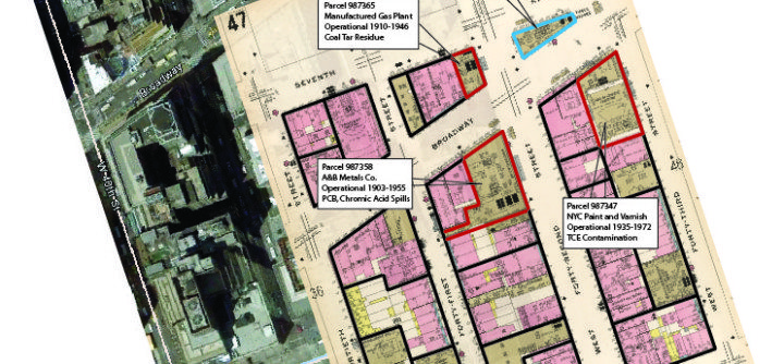
➢ GIS Data Analysis of Constructed Area for Property Insurance-
➢ Vegetation Data analysis for Transmission & Distribution line-
We understand the importance of approaching each work integrally and believe in the power of simple.